Lesson 16: Rivers on Maps
How are rivers drawn on maps?
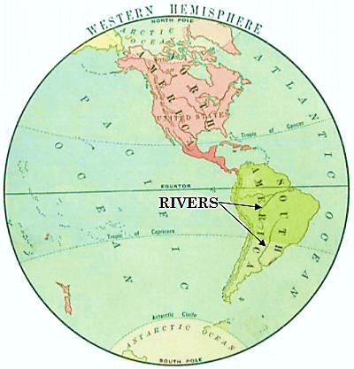
Think of a great wide flowing river with its wharves and its boats. It flows on for miles and miles. Someday all of its water will reach the ocean.
The little black lines on the lesson map mark those great broad rivers.
Why do we have such tiny things to represent such great things?
Find the land called North America on the lesson map. It would take five days and nights in a fast-express train to travel straight across it.
Notebook Work: Label the top of your notebook page with "LESSON 16." Sketch a map of an imaginary country. Come up with a name for your imaginary country. Label the map with your country name. Label the map with the directions of north, east, south, and west. Draw black lines running through your country to represent rivers. Draw dots to represent cities.
 Where We Live: A Home Geography Part II
A Home Geography II
Where We Live: A Home Geography Part II
A Home Geography II


 About
About Curriculum
 Navigation